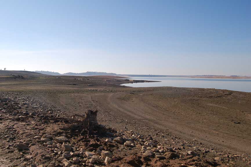
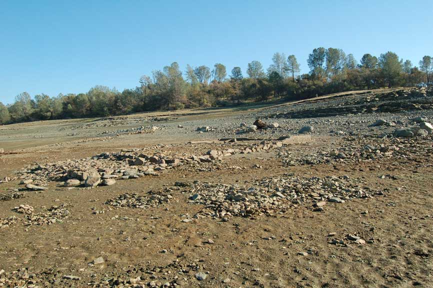
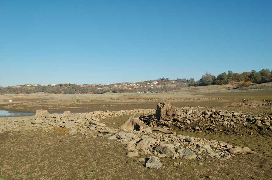
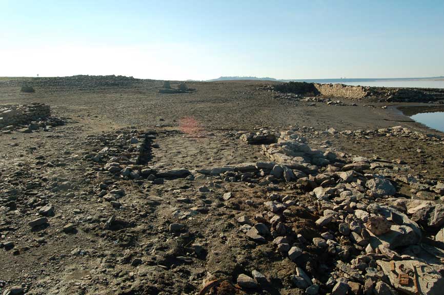
Looking from Brown's Ravine toward Folsom Dam you can see some foundations that were once part of the town
of "Mormon Island". The foundations that you will see here are not of the main town, but of places just out of town.
The Town was located next to the American river where the north fork met the south fork. In this picture the lake
would have to drop at least another 90 feet for the main part of the town to show.
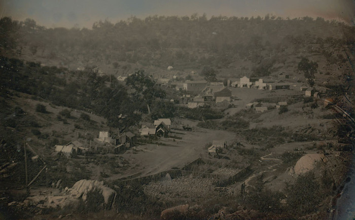
Here is a picture I found on "myfolsom.com" of Mormon Island. When the town was at its hay day it had 2500 residents,
4 Motels, 7 Saloons and a School. In 1851 a post office was open in the town. In the 1950's the town had dropped to just a
few residents and in 1955 when Folsom Lake was filled it was covered with water.
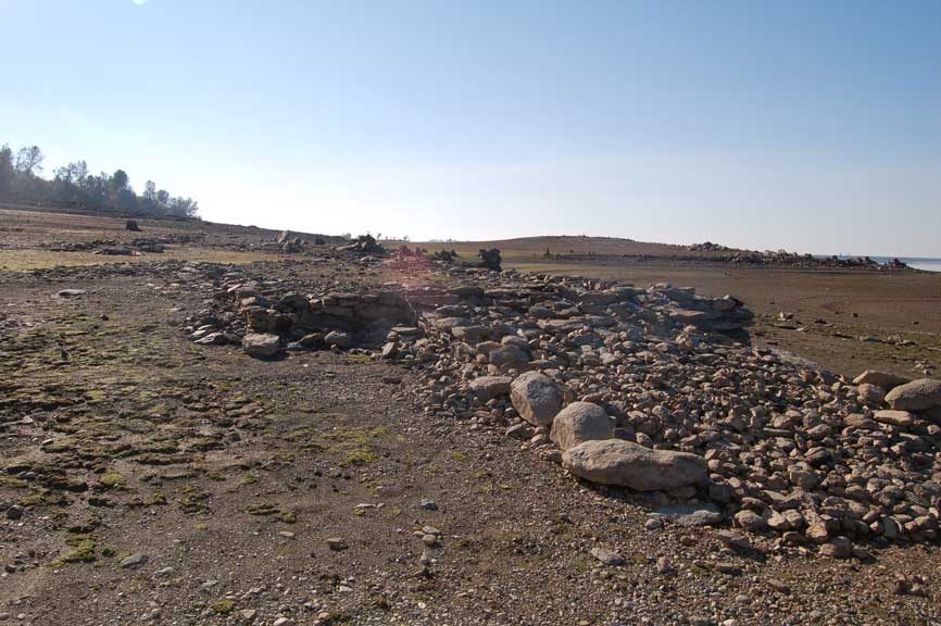
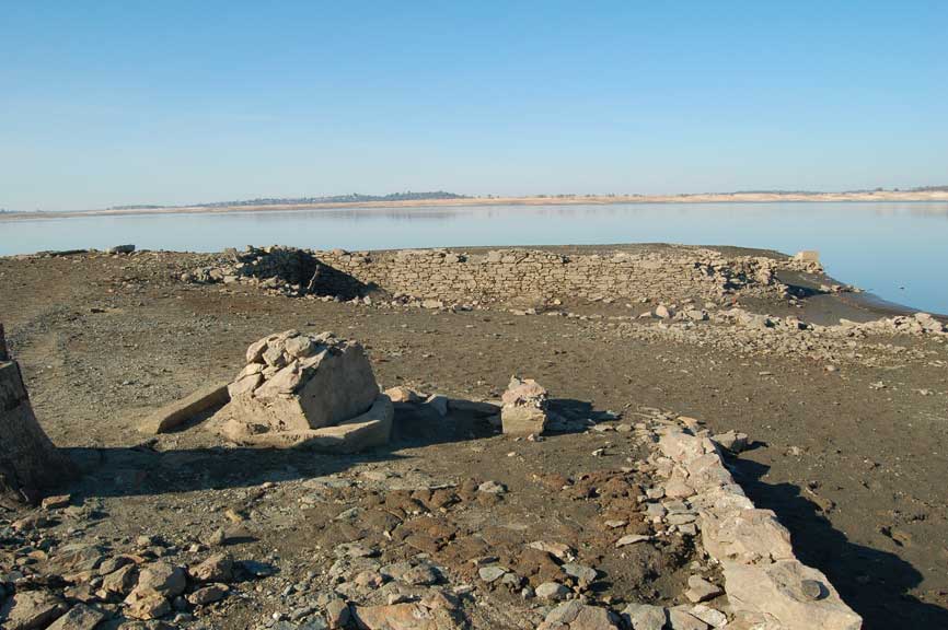
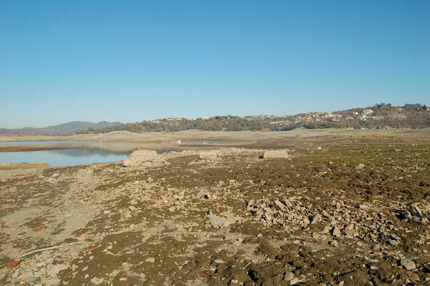
Just outside of Brown's Ravine is a foundation the had a rock ramp leading up to it. In its prime
Mormon Island had a very good winery and some have said that this was its foundation.

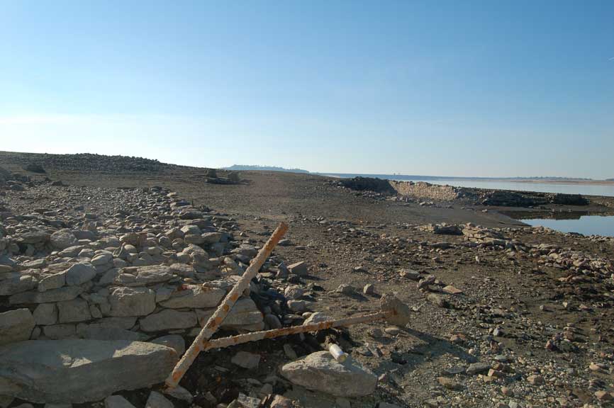
Another view of foundation with the stone ramp
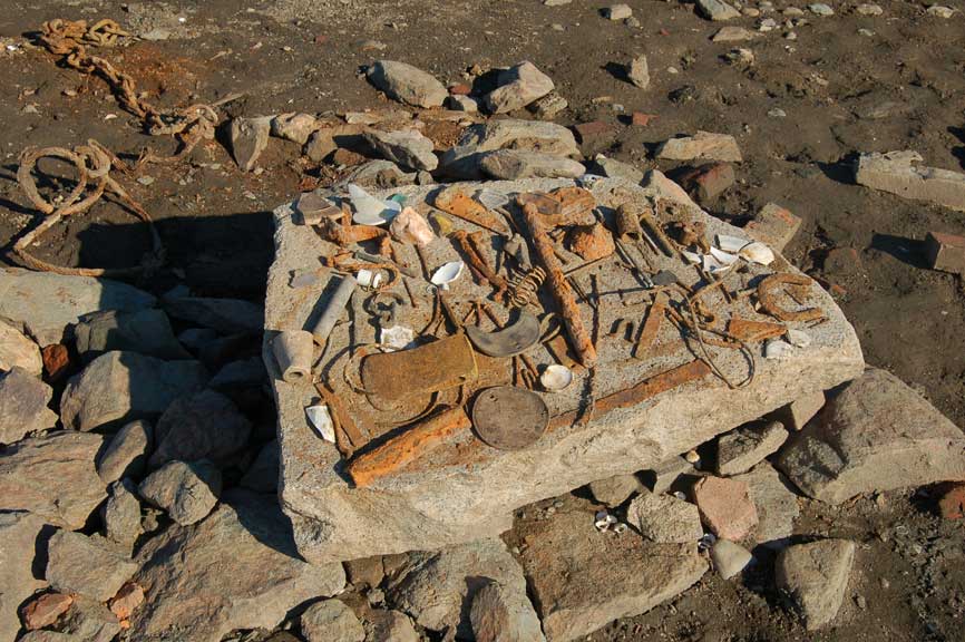
Items found around the area, but left at site.
It is illegal to remove any item from the State Park.
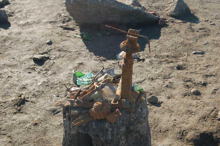
Old Jack and other tools
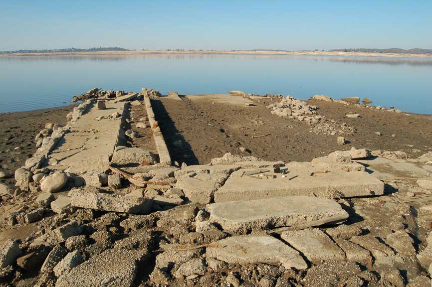
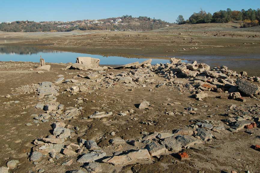
This foundations seems to have been part of a dairy. The square block you see in the middle of the picture is covering a water well.
On the left of the picture at the water edge you can see the foundation of the dairy itself.

This would have been the foundation of the dairy.
You can see that the floor of the dairy was made of concrete.
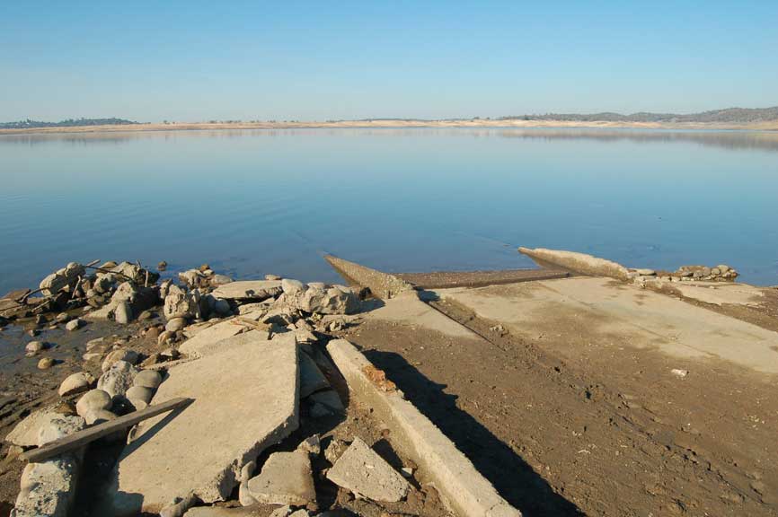
Going into the water is the cement ramp the cows would have used to enter the dairy.
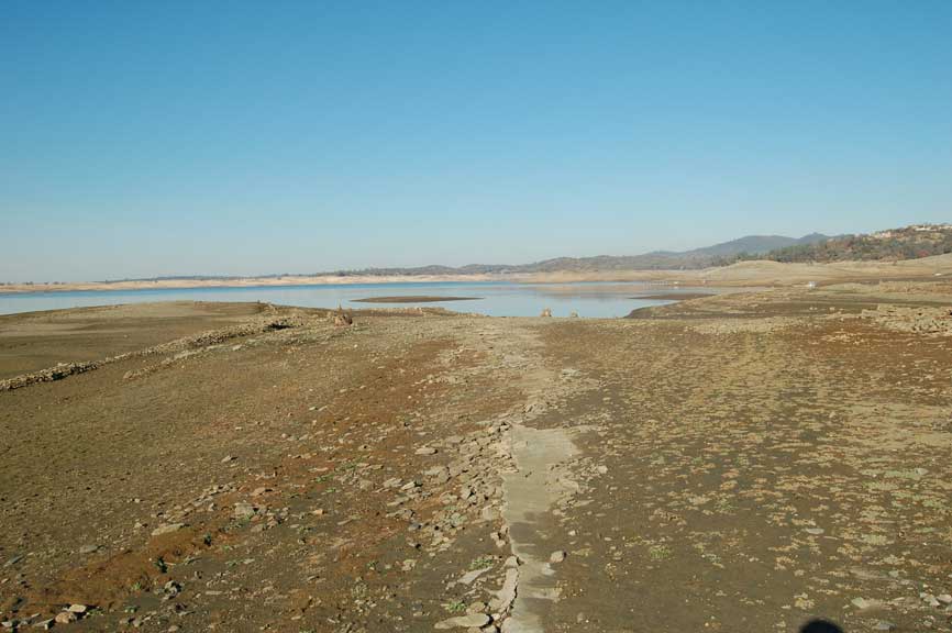
You can still see some of the main roadway. It was an asphalt road.
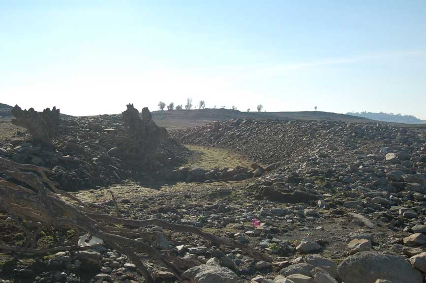
In 1851 local miners formed the Natoma Water Company and started construction on a 20 mile ditch that would provide water for miners
to look for gold. The ditch started up by the new salmon falls bridge and reached down to Granite City, which today is named Folsom.
The ditch was called the "Natoma Ditch" and it cost $175,000. to build. In 1912 the now named Natoma Company lined 13,000 ft.
of the ditch with concrete. In 1953 the Government bought most of the holding to the Natoma Ditch to build Folsom Lake.
This is another picture of the ditch. Noticed all the rocks that were used to build the ditch and all along the ditch you can see tree stumps..
As you can see from this picture, most of what is left of the Natoma Ditch has been filled with silt.
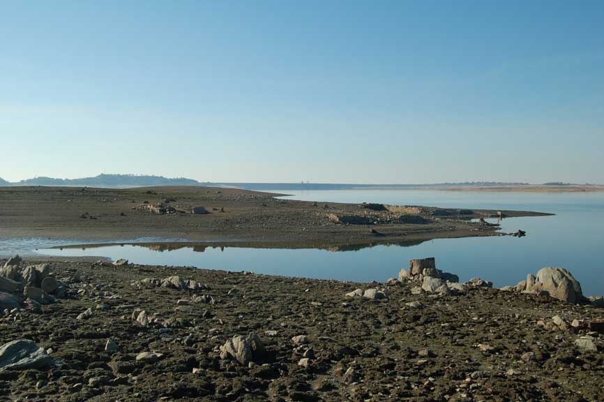
Off in the distant you can see an old foundation and how close it was to the Natoma Ditch.
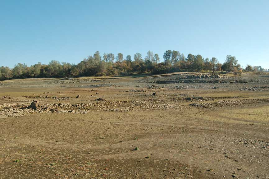
Foundations
Foundations
Foundations
Foundations
You can see Folsom Dam. The mounds you see in the lake are mine tailings left by the miners.
Another picture of mine tailings.